Time to do a bit of recon on the Kittitas to Vantage area. P2C is open between Kittitas and Vantage as is the Beverly Bridge across the Columbia River just south of Vantage.
It was suggested to take a day and ride to Vantage and spend the night “wild camping” with the rattlesnakes and other creepy-crawlers. This doesn’t allow for recharging e-bike batteries but there are options.
“Wild Camping” doesn’t seem to be an option. You can’t camp on this section of the trail and everywhere we drove there were “No Camping” signs. We found three campgrounds that could work and one other option if pain was your thing.
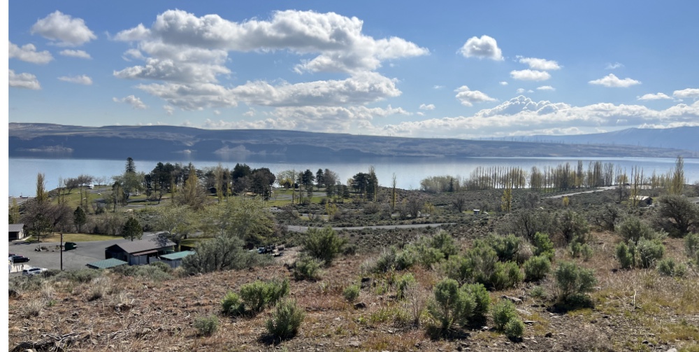
Wanapum State Park Campground is right on the Columbia River. The web site says each campsite has power, probably wind generated using the 50mph winds that are discussed. This campground is closest to the trail but still a hike from Vantage. It is the largest of the three offerings.
There is also the Vantage Riverstone which has both rooms and camping. This offering is right in the heart of Vantage.
If more miles and climbing are requested, take the newly opened Beverly Bridge across the Columbia and climb about 1500′ over 20 miles to where motels have been springing up to service the Gorge Amphitheatre.
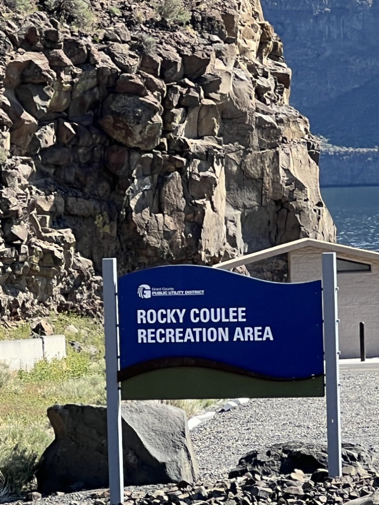
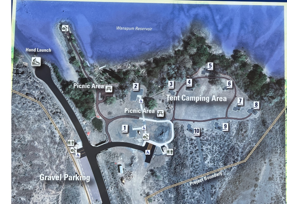
Finally as you start heading west on the Vantage Highway there is Rocky Coulee. First come, first served tent camping at $10.00 per night. This is also a way out of Vantage but had toilets, not sure about water.
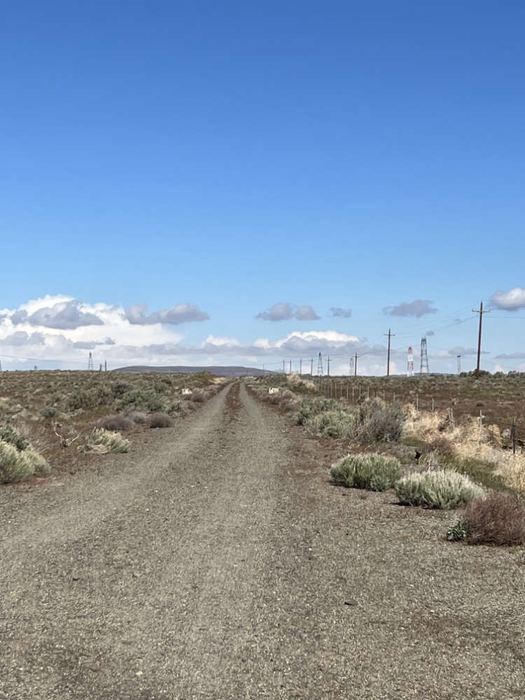
The P2C trail goes from Kittitas to Vantage with a trestle over I-90 and the Beverly Tunnel. 28 miles and only 940 feet of climbing. Reversing the route back to Kittitas the climbing increases to 1960 feet but this is a rails to trails route so the grade is under 3%.
Taking the Vantage Highway back to Kittitas is a bit over 26 miles with 2200 feet of climbing. Going in this direction there should be a headwind the whole way. The pavement is fantastic, the shoulder non-existent.
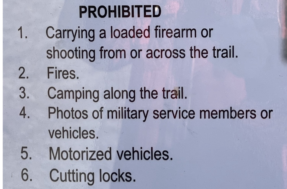
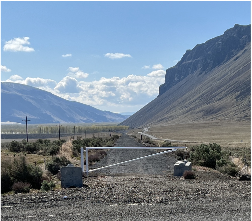
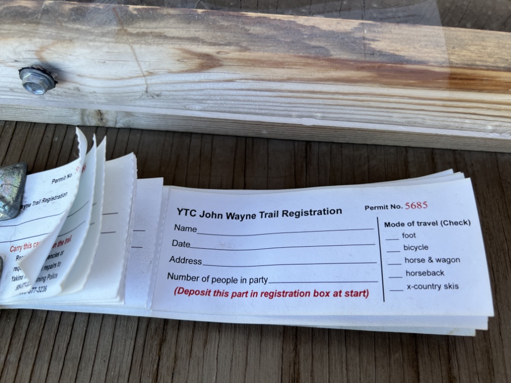
From Renslow to the Columbia River: The trail runs through the Yakima Training Center, managed by the U.S Army. Trail users are required to self-register at one of the two trailheads at Renslow (west) or Doris (east).
There is one last option if a day trip was desired. East of Kittitas there is a trailhead and starting from there the out and back route is about 42 miles and around 2400 feet of elevation gain.
The trailhead on the Vantage end is quite a distance from Vantage or any services other than bathrooms. Water for the full ride would be needed but per the regulations you wouldn’t need to worry about the weight of firearms, they are illegal.