Category: Bike Rides

23 Bike Rides

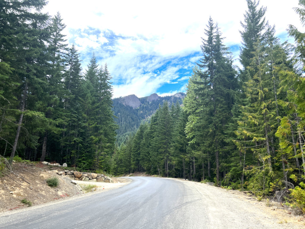
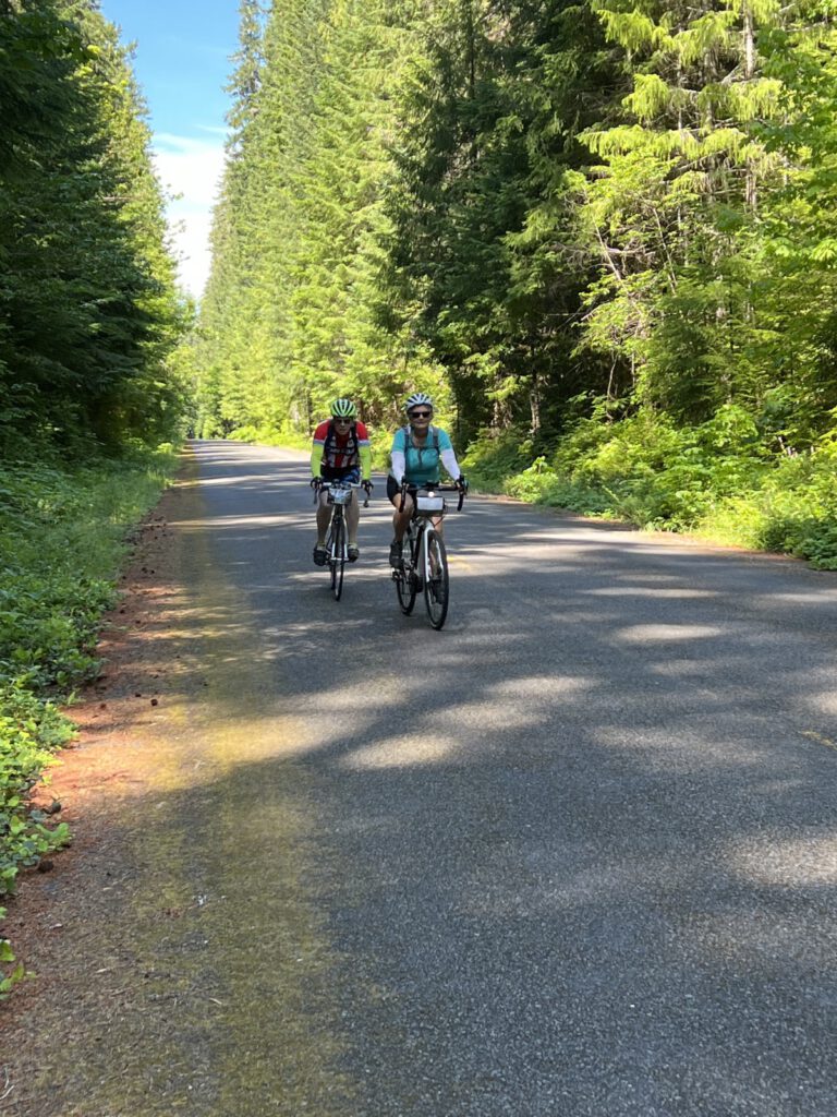
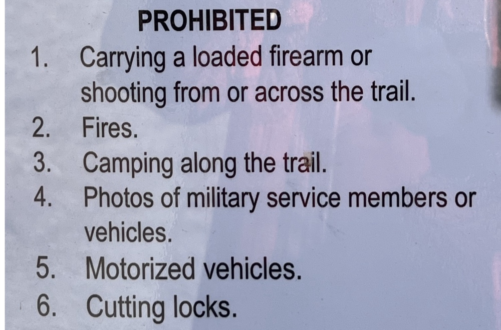
Here are some ideas for single day bike rides. They are ordered by time of year and broken into ‘road’, ‘gravel’ and ‘adventure’ categories. Many of these are new, untested routes.

Badger Pocket

Category: Road
Starting point: Ellensburg
Metrics: 41.2 miles, 1440’ elevation gain

Map: https://ridewithgps.com/routes/39575035
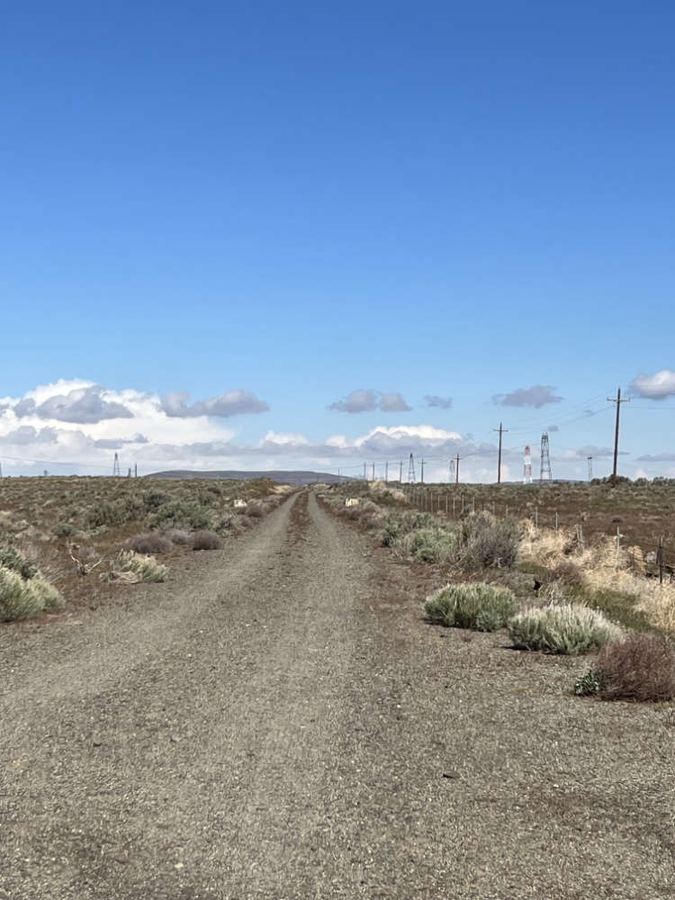

Ginkgo – Beverly

Category: Gravel [Road?]
Starting point: Ginko Petrified Park [Vantage]
Metrics: 20.6 miles, 961’ elevation gain

Map: https://ridewithgps.com/routes/41515663

Notes: Want to ride across the Beverly Bridge? Here is a way to do it without hike-a-bike through sand. I have not ridden this but my guess is the gravel section could be bypassed, making this a road bike ride.


Markworth Forest

Category: Gravel
Starting point: East of Duvall
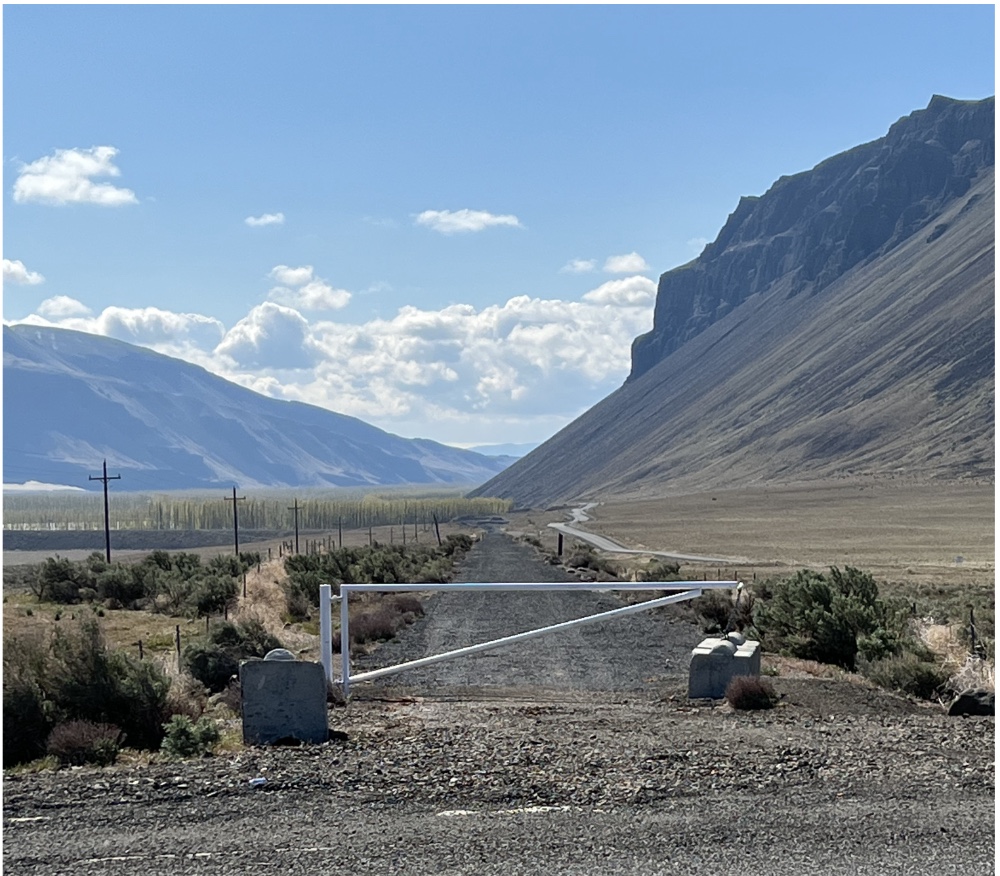

West Taneum Road

Category: Adventure
Starting point: South Cle Elum
Metrics: 37.6 miles, 2922’ elevation gain

Map: https://ridewithgps.com/routes/41608988

Notes: I haven’t ridden this, thus the adventure category. This is not a route for Sunday riding. The first part is on a road that gets used as an I-90 bypass for those heading West on Sunday.


Lost Lake

Category: Adventure
Starting point: Hyak or Stampede Pass Exit
Metrics: 23.8 miles, 2048’ elevation gain [from Hyak]

Map: https://ridewithgps.com/routes/36637567

Notes: I have driven to Lost Lake, healthy climb up from the I-90 level. Have not been beyond.


Peoh Point

Category: Adventure
Starting point: South Cle Elum
Metrics: 20.2 miles, 2474’ elevation gain

Map: https://ridewithgps.com/routes/37055384

Notes: From what I have heard, stunning views of the valley and Stuart Mountains once you get there. I have not ridden or driven to Peoh Point. The West Taneum Road loop above might provide similar views.


29 Pines Loop

Category: Adventure [serious climbing]
Starting point: 29 Pines campground [Teanaway]
Metrics: 25.6 miles, 3801’ elevation gain

Map: https://ridewithgps.com/routes/37789171

Notes: I have tried this twice. First time made it half way and ran out of battery [forgot to charge]. Second time with Terri and the first climb was too much without an e-bike.


Blewett Pass Loop

Category: Adventure
Starting point: Hwy 97 and Old Blewett Pass Rd.
Metrics: 15.6 miles, 2829’ elevation gain

Map: https://ridewithgps.com/routes/41312184

Notes: I love the climb from Hwy 97 to the top of Old Blewett Pass! What I dislike is Hwy 97, so I looked for a route that eliminated/minimized interaction with Hwy 97. I have not ridden this route [yet].


Sometimes a ride goes wrong

Labor day weekend. It seemed smart to get off the beaten path and try something new. The “Frog Ride” is one of my late summer favorites. The first part of the ride along Kachess Lake can be wet and is inhabited by plenty of frogs. Once you get off the gravel, mountain views are a real treat.

The Frog Ride normally returns to Easton via the Palouse to Cascades trail which we ride many times a year. Looking for options I found that NF-4826 connects to U-Fish Road, which would in theory complete the loop back to Easton. 4826 and the first section of U-Fish were a delight. Good gravel and a gradual descent.

There are cabins and a couple of lodges on the way, one guarded by these Totem Poles and they really should have told us not to go any further.

A sharp left brought a healthy climb on large, loose rock. Time to dismount for the daily hike-a-bike segment. Once up there was a gate across the road with signs stating Private Property. It wasn’t hunting season so we hoped that we wouldn’t be shot, not wanting to descend the loose rock “road” and then climb back up to where we turned off on NF-4826. Fingers crossed we proceeded across the private property where the scenery was stunning. Another gate and we were back on public roads and onward to the car.

There doesn’t seem to be a way to use U-Fish Road. One end is I-90 and the other is the Yakima River. Now I need to figure out how to identify private property on potential routes. As more of us turn to gravel riding the ability to plot successful routes without intruding on private property will become critical.

Sisters 2022

July 11-14, 2022

A redo of our 2013 ride only starting in Sisters rather than Oakridge. Eight riders and two in our support crew. Riders: Deb & Dave Wirrick, Ken Wallis, Mark Peterson, Terri Iverson, Betsy MacInnes, Werner Krampl, & Rollie Herman. In support: Judi Richardson & Karen Herman.

View right outside of Sisters

Day 1, McKenzie Pass the easy way
McKenzie Pass the easy way
Yes, 4 days of scenic riding!
If this only kept the Backroads riders quiet

After descending towards Rainbow we stopped on the McKenzie River for a “refreshing” dip. Then in to Harbick’s to relax and recharge.

Our second day was Rainbow to Oakridge and the weather was toasty. No swimming today but we did have headwinds at the finish.

Butterflies were everywhere
Started the day crossing the Belknap Bridge
Then treated to a wall of Sweet Pea flowers

But then it was climbing with plenty of tree cover all the way to Box Canyon Horse Camp for lunch. Then a long descent to Westfir and finally Oakridge.

Day 3 saw us retrace our route back to Rainbow. The long descent of the previous day became an all-morning ascent back to Box Canyon for lunch.

Our second covered bridge, The Office Bridge in Westfir

There was some concern from some of the riders about wildlife. Specifically bears and cougars. This proves that cougars (cats) and deer can peacefully coexist.

The end of the road for this trailer
The site of a cookie break, yum!
Big trees and blue skies
Big bumps

After Box Canyon the new roads returned for a speedy descent to the Terwilliger Hot Springs. Deb, Dave & I made it all the way to the pools after some serious hike-a-bike. The pools were too hot to be refreshing.

Day 4 was the Queen Stage, back to the top of McKenzie Pass- the hard way. Close to 4 hours of climbing.

Multi-Day in Central Oregon

It was raining this morning, a perfect time to burning limbs, pine duff and other winter debris. While drying out I went down a YouTube rabbit hole and found: https://youtu.be/9kjhuYrLDpg about the Oregon Ramble Ride.

The route is on Bikepacking.com https://bikepacking.com/routes/central-oregon-backcountry-explorer/ and it starts in Prineville, the home of Les Schwab Tires. For those who went on the first McKenzie Pass ride I believe we went through Prineville on the day of the DEATH RIDE.

I have been giving some thought on how to couple e-bikes with multi-day bikepacking.

  • Find campsites for each night that have power. Logistically difficult but not impossible. Campsites could be motels.
  • Carry extra batteries. The super expensive option that also adds a ton of weight to each bike. You would still need power every other night or so.
  • Have a support vehicle with either a larger inverter or small generator. If you watch the YouTube video they have support vehicles at the camp sites.

Charging time is an issue. For my bike with a Bosch motor and using the standard 4 amp charger it takes almost 5 hours to get a full charge. 50% in 2 hours or so. One can’t rely on charging while eating lunch or having a beer. Hopefully you don’t suck the battery dry but there would need to be a way to charge everyone’s batteries efficiently.

Terri’s Ride Suggestions

Newest offerings are at the top.

Winthrop

Cascade Bike Club is planning on a gravel weekend in Winthrop June 23-25. As of 12/28/22 they have not posted anything other than the dates and cost. Along with gravel riding we could also to a road bike event based there.


Grays Harbor

Another Cascade weekend event, July 30 – August 1. Further information is not yet available.


Long Beach

Like the two above, Cascade has chosen the dates of August 3-5.


Snoqualamie Falls & Twin Peaks

A King County day ride. 83 miles and 5969 feet of elevation gain.
https://ridewithgps.com/routes/14499929
The route could easily be shortened by starting at Rattlesnake Lake.


Tieton [west of Yakima]

A mid-June organized ride but Terri isn’t against borrowing routes.
50 Mile Route 2474 feet of elevation gain
25 Mile Route 1436 feet of elevation gain


Capitol Forest

Joy Ride Bicycles has a bunch of routes on this page.


Walla Walla

https://cascade.org/rides-and-events-tours-cascade-club-tours/fall-walla-walla-tour-lite


Idaho Panhandle

https://www.pegasusbiketours.com/_files/ugd/f4f9b0_efda0ffee18f4aa787b4e66ac782f6aa.pdf

(Howard and I have done parts of this route and it was one of our favorite tours)


Willamette Valley

https://www.pegasusbiketours.com/_files/ugd/f4f9b0_d2ba491b58624e94ab4799597b2d029b.pdf


Fall Ride – Klickitat State Park Trail

Klickitat State Park Trail – from Lyle, WA to Klickitat, WA (or vice versa)

https://www.parks.wa.gov/869/Klickitat-Trail

Klickitat Accommodations https://klickitatriverinn.com/

Lyle Accommodations

The Lyle Inn is expensive, so some sleuthing of an alternate place would be needed

https://thelylehotel.com/

Rollie’s additions:

I think the 32 miles must be to Goldendale
https://ridewithgps.com/routes/39217713

A while back I found this
https://buckyrides.com/chenoweth-upness/
Same general area and billed as a good fall ride.

And here are more options in the area
https://dirtyfreehub.org/gravel-search/?lat=45.450539&lng=-121.123729&zoom=9&cat=5&cat=2

Kittitas-Vantage

Time to do a bit of recon on the Kittitas to Vantage area. P2C is open between Kittitas and Vantage as is the Beverly Bridge across the Columbia River just south of Vantage.

It was suggested to take a day and ride to Vantage and spend the night “wild camping” with the rattlesnakes and other creepy-crawlers. This doesn’t allow for recharging e-bike batteries but there are options.

Wild Camping Not Allowed

“Wild Camping” doesn’t seem to be an option. You can’t camp on this section of the trail and everywhere we drove there were “No Camping” signs. We found three campgrounds that could work and one other option if pain was your thing.

Wanapum State Park Campground is right on the Columbia River. The web site says each campsite has power, probably wind generated using the 50mph winds that are discussed. This campground is closest to the trail but still a hike from Vantage. It is the largest of the three offerings.

Wanapum Park

There is also the Vantage Riverstone which has both rooms and camping. This offering is right in the heart of Vantage.

If more miles and climbing are requested, take the newly opened Beverly Bridge across the Columbia and climb about 1500′ over 20 miles to where motels have been springing up to service the Gorge Amphitheatre.

Finally as you start heading west on the Vantage Highway there is Rocky Coulee. First come, first served tent camping at $10.00 per night. This is also a way out of Vantage but had toilets, not sure about water.

Rocky Coulee Site Map

The P2C trail goes from Kittitas to Vantage with a trestle over I-90 and the Beverly Tunnel. 28 miles and only 940 feet of climbing. Reversing the route back to Kittitas the climbing increases to 1960 feet but this is a rails to trails route so the grade is under 3%.

Trail looking North from the Vantage end.
Trail looking South from the Vantage end

Taking the Vantage Highway back to Kittitas is a bit over 26 miles with 2200 feet of climbing. Going in this direction there should be a headwind the whole way. The pavement is fantastic, the shoulder non-existent.

From Renslow to the Columbia River: The trail runs through the Yakima Training Center, managed by the U.S Army. Trail users are required to self-register at one of the two trailheads at Renslow (west) or Doris (east).

Sign-in Form

There is one last option if a day trip was desired. East of Kittitas there is a trailhead and starting from there the out and back route is about 42 miles and around 2400 feet of elevation gain.

The trailhead on the Vantage end is quite a distance from Vantage or any services other than bathrooms. Water for the full ride would be needed but per the regulations you wouldn’t need to worry about the weight of firearms, they are illegal.

© 2024 Riding Rural Roads

Theme by Anders NorenUp ↑