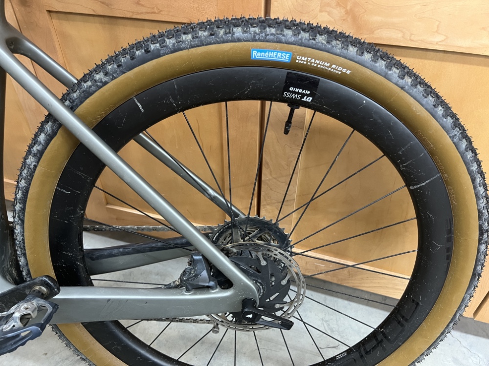
Last November I purchase a set of René Herse Umtanum Ridge tires for my Canyon gravel e-bike. Then it started snowing and kept snowing. Ride time turned into plowing time and it took me until January 1st to actually use them.
They were easy to install [tubeless] and I inflated them to the 30psi minimum that was suggested. Took them out on the Snoqualmie Valley Trail and the experience was horrible.
That trail has a number of bridges where the bridge deck consists of rectangular concrete slabs butted up to each other. With these tires it felt like the bike was out of control, jumping left and right and the junctions between slabs. Letting some air out of the front tire helped but it was unnerving. I have ridden over these bridges numerous times and have never experienced this before.
We got to our turn around point and headed back down a slight grade. When others were able to coast, I still had to pedal. Contrary to the advertisement when you buy these, they aren’t speedy.
After the ride I wondered if I was running too much [or too little] air pressure so I tried to contact René Herse. Their web site only has a form that can be filled out, although it doesn’t allow for much of a comment. No phone number, no email, just a vague promise to answer in a week or so.
More than a week has passed with no response [and yes, I have been checking my SPAM folder]. Somewhere I found an email for the company president and sent him a request for a phone call. Silence. Went to the City of Seattle and looked up their business license. It listed a phone number but when I called, the number had been disconnected.
I have learned my lesson. Don’t do business with a company that you can’t pick up the phone and talk with.
If you are considering doing business with this company, figure out ahead of time how you will deal with any issues. Their products are expensive, at their prices, the service they offer should be superior.
Here are some ideas for single day bike rides. They are ordered by time of year and broken into ‘road’, ‘gravel’ and ‘adventure’ categories. Many of these are new, untested routes.
Notes: Want to ride across the Beverly Bridge? Here is a way to do it without hike-a-bike through sand. I have not ridden this but my guess is the gravel section could be bypassed, making this a road bike ride.
Markworth Forest
Category: Gravel Starting point: East of Duvall
West Taneum Road
Category: Adventure Starting point: South Cle Elum Metrics: 37.6 miles, 2922’ elevation gain
Notes: I haven’t ridden this, thus the adventure category. This is not a route for Sunday riding. The first part is on a road that gets used as an I-90 bypass for those heading West on Sunday.
Lost Lake
Category: Adventure Starting point: Hyak or Stampede Pass Exit Metrics: 23.8 miles, 2048’ elevation gain [from Hyak]
Notes: From what I have heard, stunning views of the valley and Stuart Mountains once you get there. I have not ridden or driven to Peoh Point. The West Taneum Road loop above might provide similar views.
Notes: I have tried this twice. First time made it half way and ran out of battery [forgot to charge]. Second time with Terri and the first climb was too much without an e-bike.
Blewett Pass Loop
Category: Adventure Starting point: Hwy 97 and Old Blewett Pass Rd. Metrics: 15.6 miles, 2829’ elevation gain
Notes: I love the climb from Hwy 97 to the top of Old Blewett Pass! What I dislike is Hwy 97, so I looked for a route that eliminated/minimized interaction with Hwy 97. I have not ridden this route [yet].
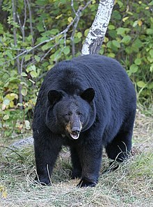
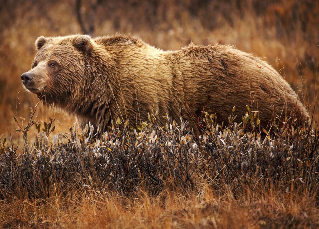
If your boat were to sink, bears would not be the first thing to worry about so the 7 Steps to Survival don’t include bear encounters. When riding bikes in the woods, bears are an issue. We even have bears in our neighborhood. One took the month of September to eat everything in a neighbor’s garden, taking out the fence in the process.
Bears seem to be on the minds of the national press [along with Bison]. CNN just had an article on how to survive a bear attack which seems to offer some good advice. Not too far from my home there was a bear attack. This one didn’t end so well for the bear.
The first article suggests riding in groups, not bathing and singing/talking so the bear has a chance to stay away. Then there is the tried and true method of not being the slowest in the group. Would it be smart to carry a branch that you could shove through another rider’s spokes? Not a nice thing. I think being loud and stinky is a simple way to behave in bear country.
Many carry bear spray [I am considering it], but I really don’t want to see one in the first place. One issue with bear spray and bicycles is where to carry it. I have seen several videos where the spray is carried in a water bottle bracket or feed bag and the vibration of the bike has worn a hole through the side of the bear spray container, which then sprays the rider and leaves you without protection.
The “where to carry it” link (above) shares a few comments that are worth noting: 1. Keep the spray on your person in case you get separated from your bike. 2. Practice with the spray, it won’t do you any good if you don’t know how to use it. 3. Bear encounters on the trail happen at warp speed.
Near the end of that article is a section on camping in bear country. When a teenager I did some camping in Glacier National Park which was serious bear territory. This was before all the fancy ways of storing food and we had them walking through camp at night looking for a treat. Now I wonder about bikepacking in bear country. How would one safely store food although with freeze dried packages there shouldn’t be any scent to attract them. Just make sure to clean your plate/bowl.
That motel room door is looking better and better.
I have been spending time reviewing safety protocols for bike rides, both group and when riding by myself. In a previous life I owned a company that specialized in maritime safety, and in those years the 7 Steps to Survival were developed.
RECOGNITION-> Admit your life is in danger.
INVENTORY-> Decide what can help & hurt. Do first aid.
SHELTER-> Preserve body heat with materials that insulate & protect you from the environment.
SIGNALS-> Help search & rescue find you.
WATER-> Find a safe source of water.
FOOD-> After you are safe & warm, food will help long waits.
PLAY-> Stay busy & keep a positive mental attitude.
If you find yourself in the wilderness rather than mid-Pacific some of the details might be different but the general steps are still sound.
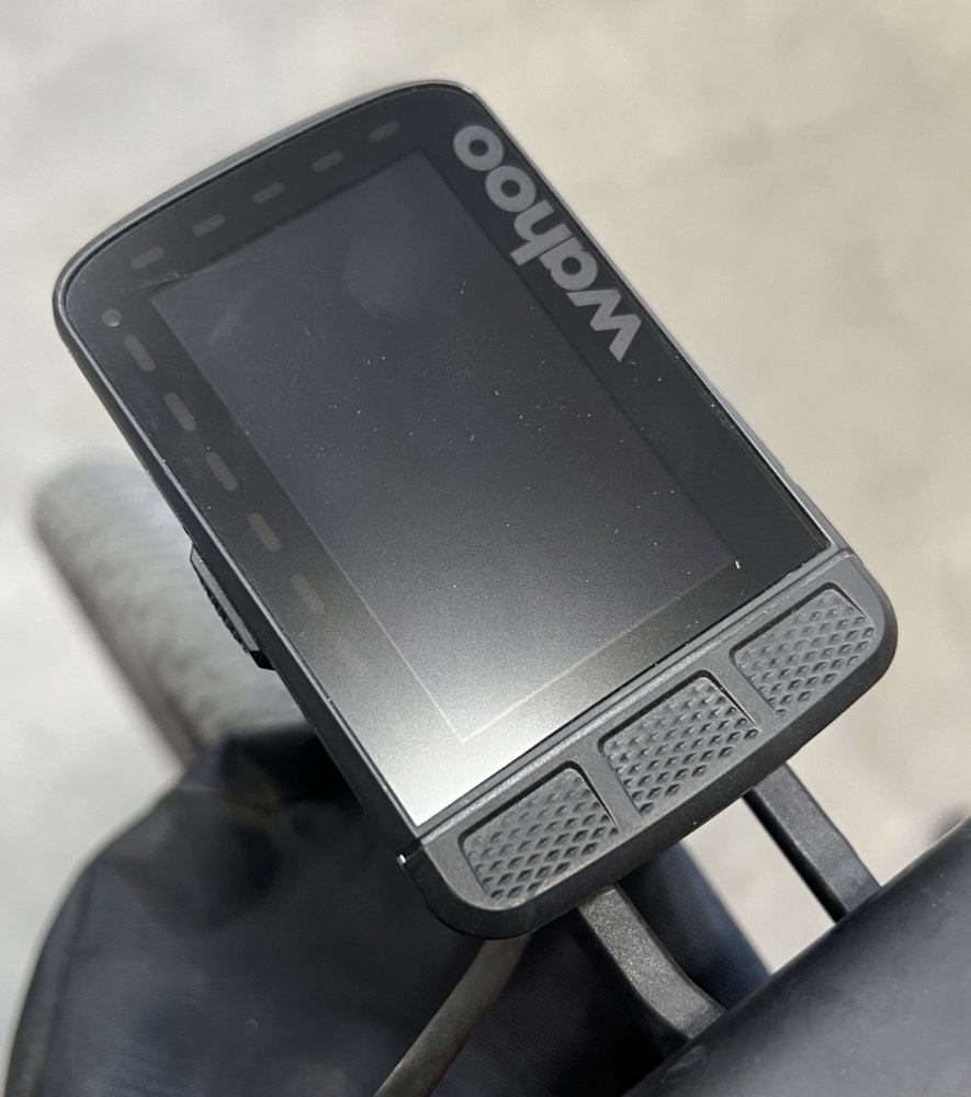
#4, SIGNALS has been a topic of conversation in my household. New to my bike this year is a Wahoo Elemnt Roam Bike Confuzer [computer]. One feature of great interest was the ability for my wife to track my rides in real time.
At first this seemed like the perfect solution and then the weather turned nice. Two things changed, I went to areas without cell phone coverage and trees started to leaf out.
On one ride between Rainbow and Oakridge Oregon I started hearing alert signals from the confuzer. LED’s would flash red and then a while later another alert and green LED’s. It was quite annoying so that evening I went online to find out what was going on. Seems that the tree cover was blocking GPS reception and the device was letting me know. On that day’s ride more than 50% of the time was spent without GPS reception. Not a big deal on that day but it really made me aware, devices that use satellites, really need to see the clear sky.
I have been paying more attention to my confuzer and when those red LED’s flash telling me that it has lost GPS coverage. Unless I have been riding in farm land with no trees, loss of coverage is pretty common.
Last weekend we were at Costco and they had the Garmin inReach on sale. It turned out it was an old version but it still got me looking at the idea of a Personal Satellite Communicator. This would eliminate the lack of cellular signal but when reading the reviews I realized that it would still suffer if it didn’t have a clear view of the sky. For a ride in the woods of the North West would it be an asset?
In August there was a T-Mobile press release about partnering with SpaceX to provide text messaging nationwide using SpaceX’s Starlink satellite system. Apple says that its iPhone 14 models will have the ability to send an Emergency SOS with an update coming in November 2022. As with all systems that utilize satellites, a clear view of the sky is critical.
Group rides add an additional layer of difficulty. If the group is in an area without cell coverage, any support vehicles most likely are also lacking coverage. The Garmin inReach Mini has the ability to communicate between 2 devices using the satellite system but would the system work inside a vehicle? This also means another device and subscription to the satellite system.
This seems to be a case of not letting perfect get in the way of good. Knowing that a clear view of the sky is essential for good reception is important. You won’t waste your time trying to communicate from inside a cave. Options are rapidly appearing, especially from the cell phone providers.
I haven’t discussed products from ACR, SPOT or others only because they all are using satellites to communicate and therefore have the same issues. Features between brands are a bit different but the functionality is the same.
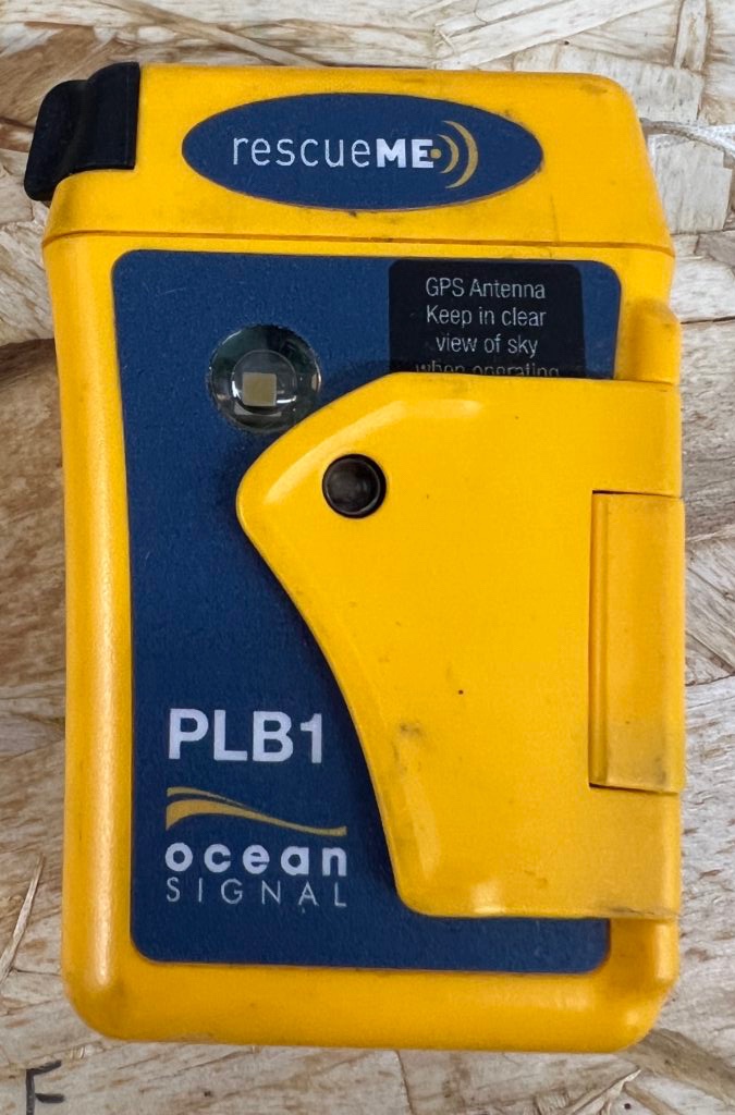
Currently I am carrying an Ocean Signal PLB [Personal Locator Beacon]. It only provides one way communication and only to search & rescue. When I was in the marine safety business, I sold these and one somehow ended up in my kit.
One final thought-> Even though you might not be able to make a cellular phone call, it continues to amaze me how often text messages go through. I can be riding along and all of a sudden my phone lights up with new messages. Obviously it takes less signal strength to get a text through than to sustain a phone call. This is important to know so there will be a cold cocktail waiting when you return to home/camp.
Labor day weekend. It seemed smart to get off the beaten path and try something new. The “Frog Ride” is one of my late summer favorites. The first part of the ride along Kachess Lake can be wet and is inhabited by plenty of frogs. Once you get off the gravel, mountain views are a real treat.
The Frog Ride normally returns to Easton via the Palouse to Cascades trail which we ride many times a year. Looking for options I found that NF-4826 connects to U-Fish Road, which would in theory complete the loop back to Easton. 4826 and the first section of U-Fish were a delight. Good gravel and a gradual descent.
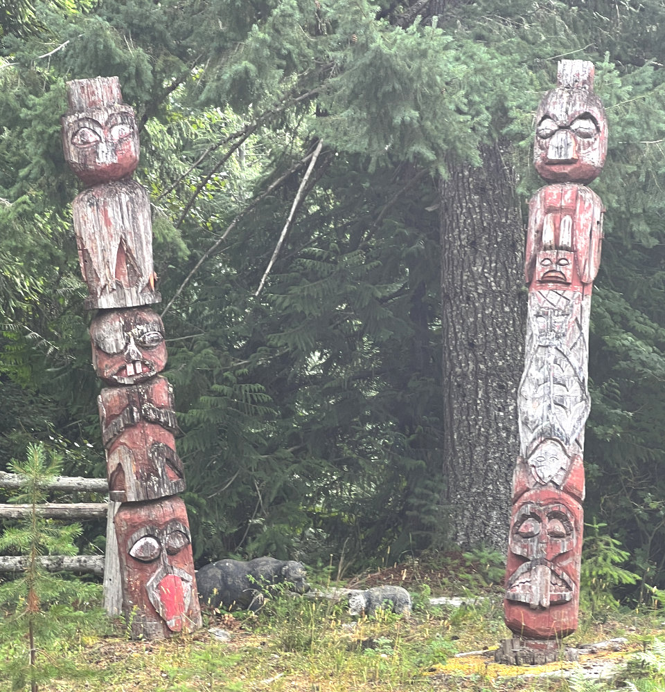
There are cabins and a couple of lodges on the way, one guarded by these Totem Poles and they really should have told us not to go any further.
A sharp left brought a healthy climb on large, loose rock. Time to dismount for the daily hike-a-bike segment. Once up there was a gate across the road with signs stating Private Property. It wasn’t hunting season so we hoped that we wouldn’t be shot, not wanting to descend the loose rock “road” and then climb back up to where we turned off on NF-4826. Fingers crossed we proceeded across the private property where the scenery was stunning. Another gate and we were back on public roads and onward to the car.
There doesn’t seem to be a way to use U-Fish Road. One end is I-90 and the other is the Yakima River. Now I need to figure out how to identify private property on potential routes. As more of us turn to gravel riding the ability to plot successful routes without intruding on private property will become critical.
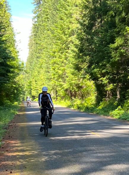
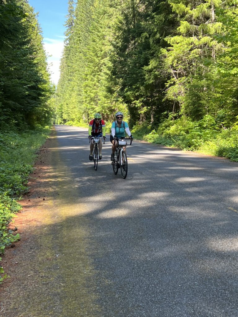
A redo of our 2013 ride only starting in Sisters rather than Oakridge. Eight riders and two in our support crew. Riders: Deb & Dave Wirrick, Ken Wallis, Mark Peterson, Terri Iverson, Betsy MacInnes, Werner Krampl, & Rollie Herman. In support: Judi Richardson & Karen Herman.
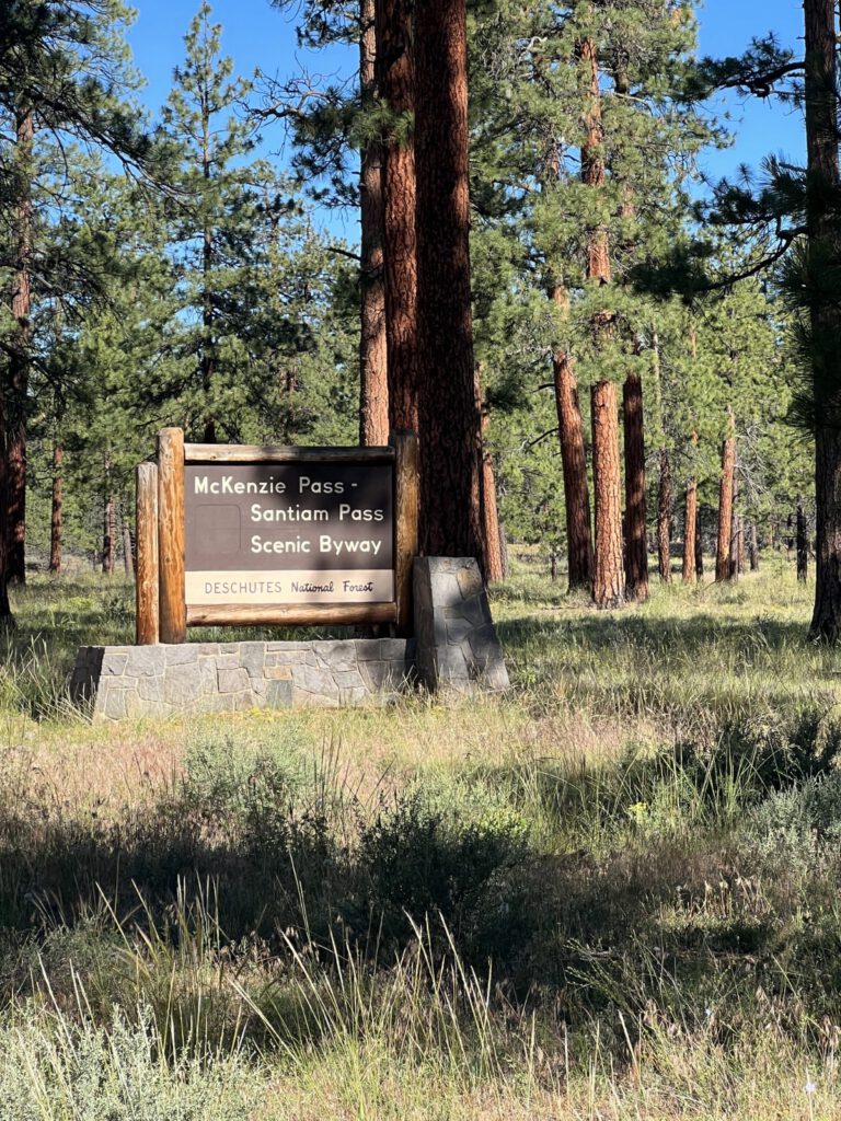
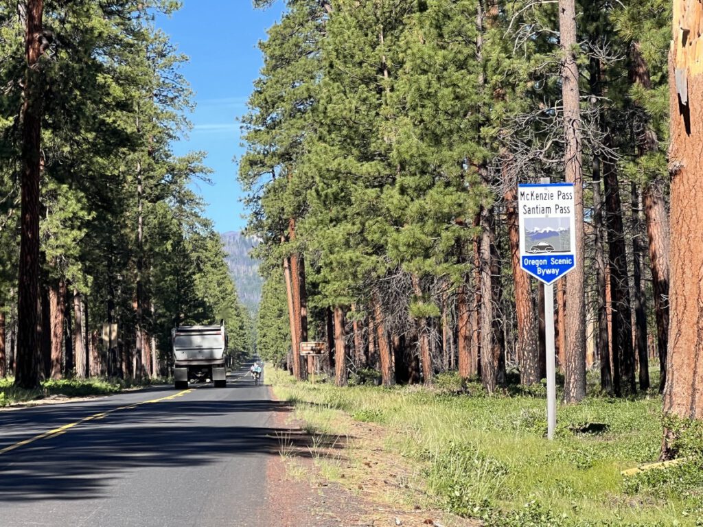
View right outside of SistersDay 1, McKenzie Pass the easy wayMcKenzie Pass the easy wayYes, 4 days of scenic riding!If this only kept the Backroads riders quiet
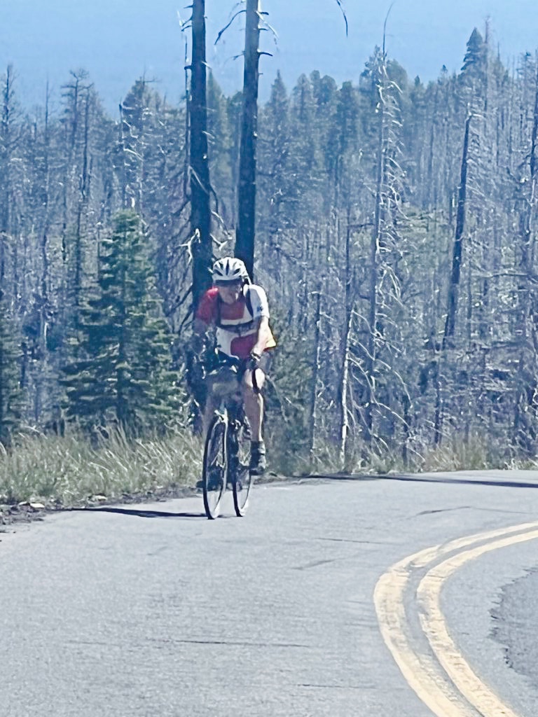
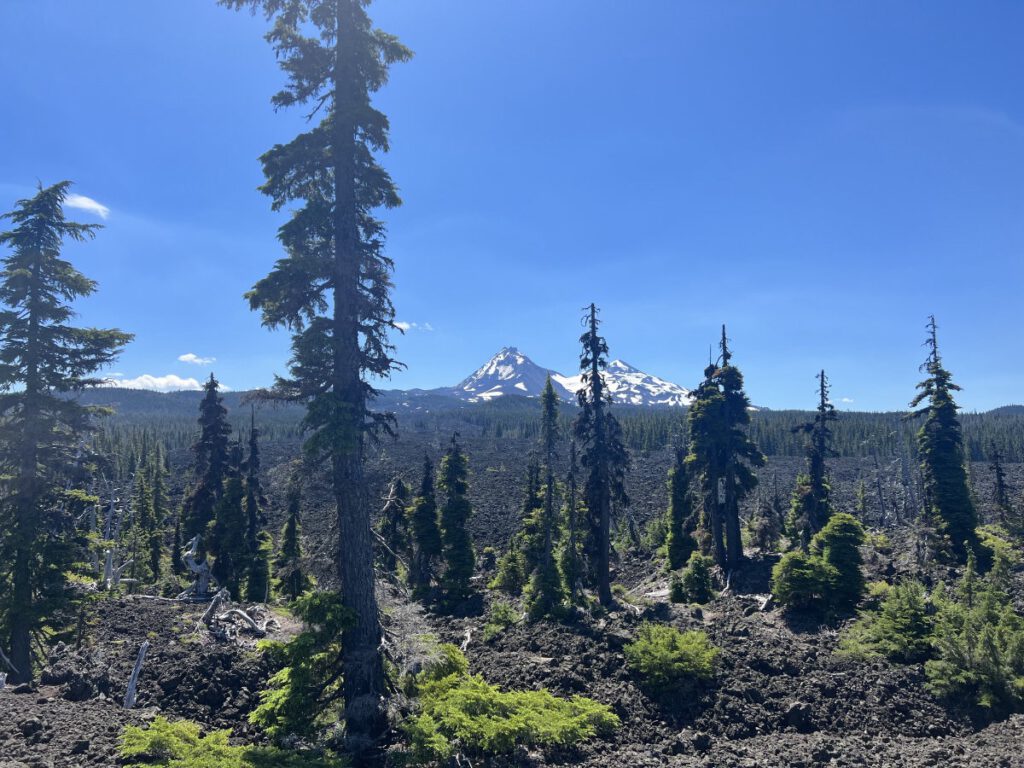
After descending towards Rainbow we stopped on the McKenzie River for a “refreshing” dip. Then in to Harbick’s to relax and recharge.
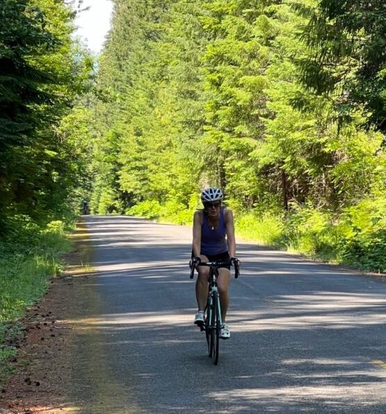
Our second day was Rainbow to Oakridge and the weather was toasty. No swimming today but we did have headwinds at the finish.
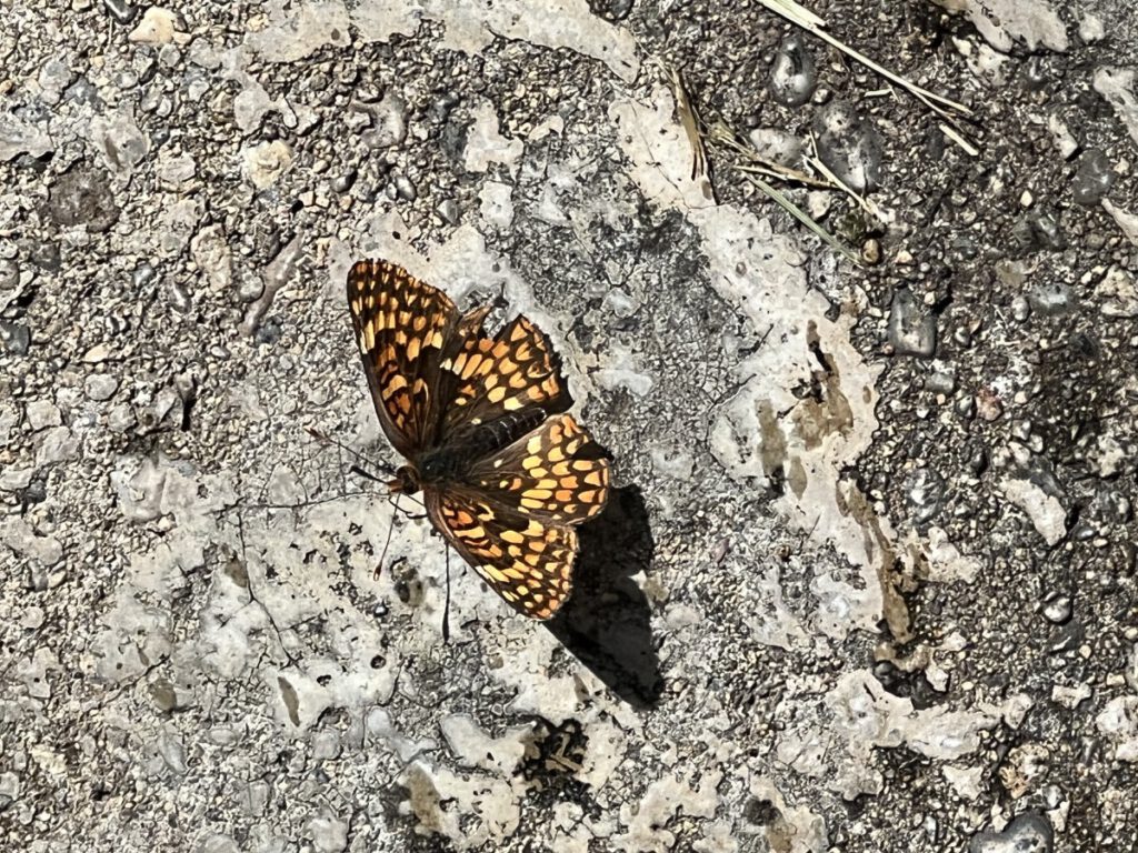
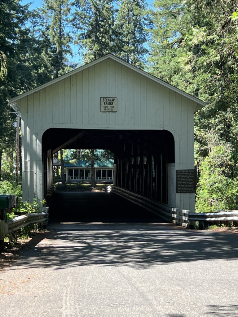
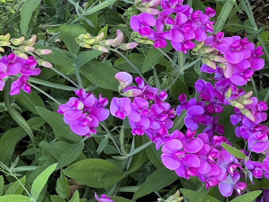
Butterflies were everywhereStarted the day crossing the Belknap BridgeThen treated to a wall of Sweet Pea flowers
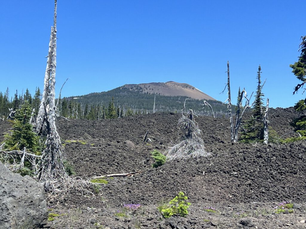
But then it was climbing with plenty of tree cover all the way to Box Canyon Horse Camp for lunch. Then a long descent to Westfir and finally Oakridge.
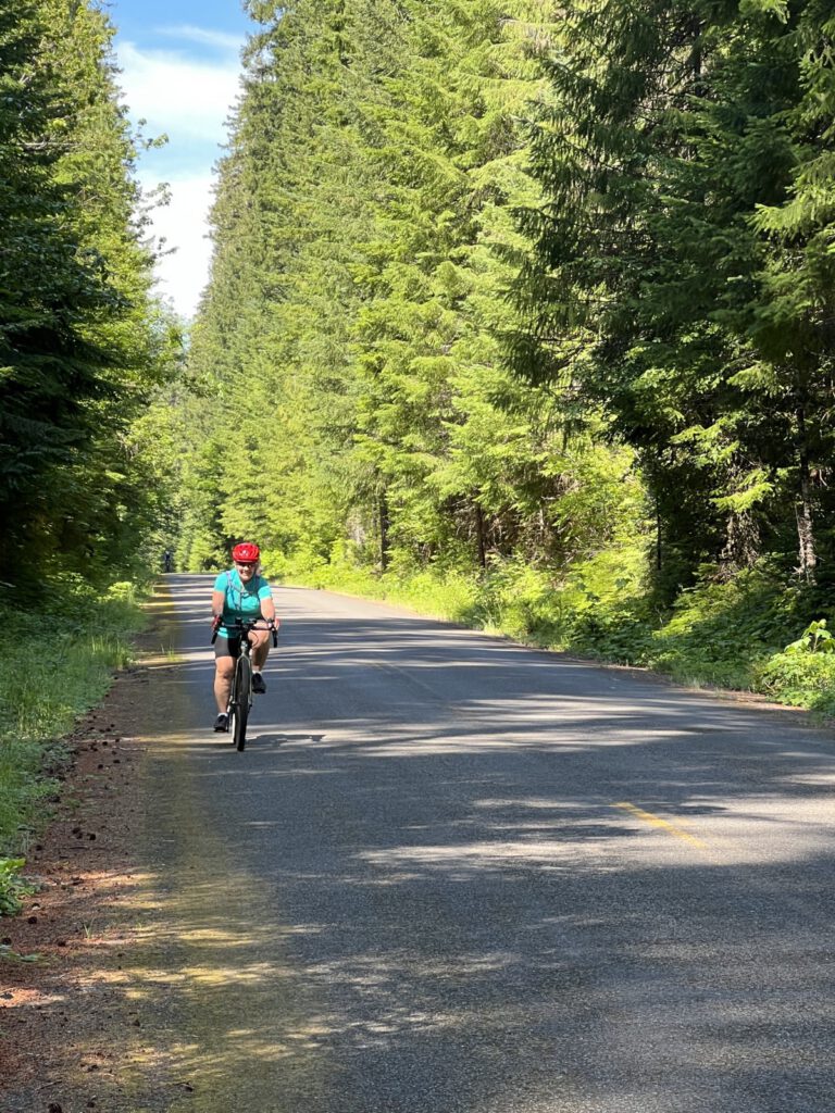
Day 3 saw us retrace our route back to Rainbow. The long descent of the previous day became an all-morning ascent back to Box Canyon for lunch.
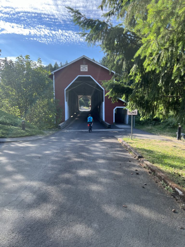
Our second covered bridge, The Office Bridge in Westfir
There was some concern from some of the riders about wildlife. Specifically bears and cougars. This proves that cougars (cats) and deer can peacefully coexist.
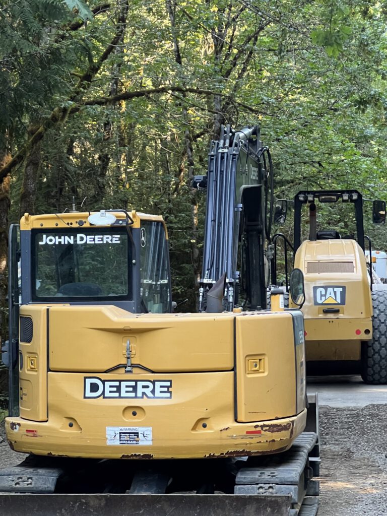
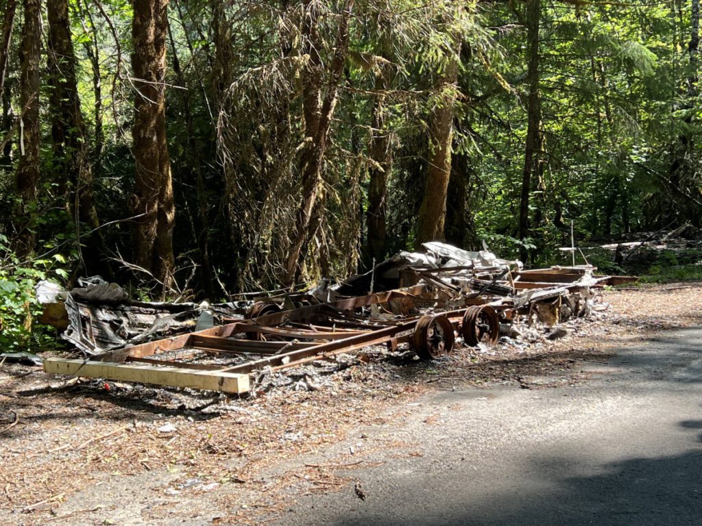
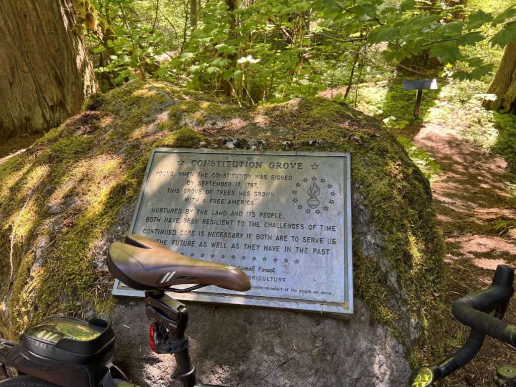
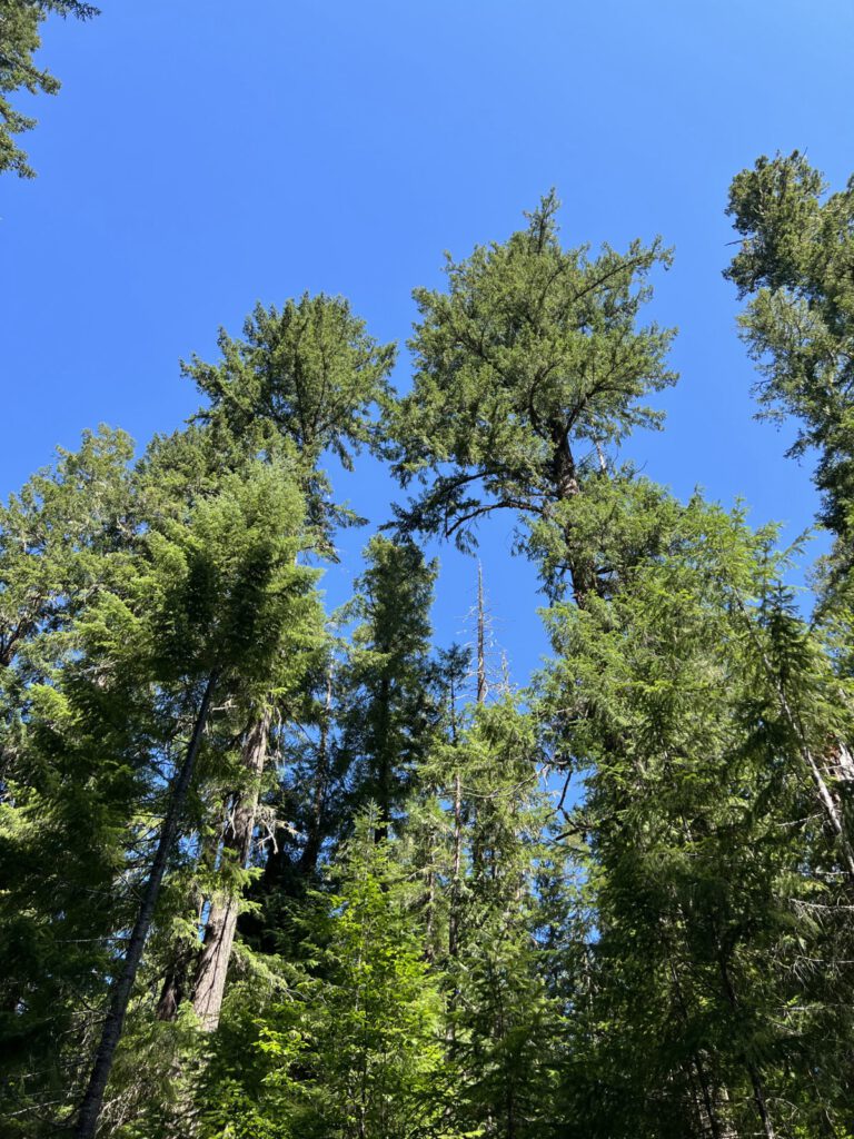
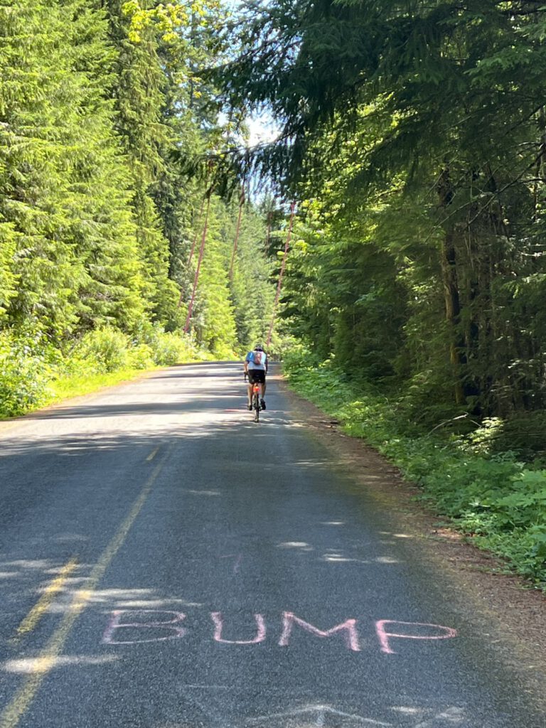
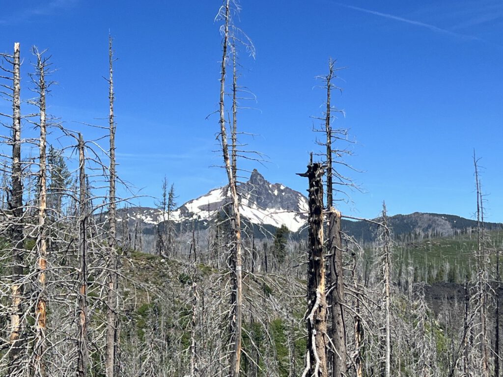
The end of the road for this trailerThe site of a cookie break, yum!Big trees and blue skiesBig bumps
After Box Canyon the new roads returned for a speedy descent to the Terwilliger Hot Springs. Deb, Dave & I made it all the way to the pools after some serious hike-a-bike. The pools were too hot to be refreshing.
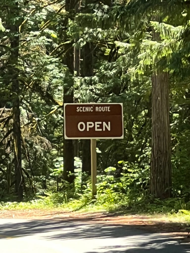
Day 4 was the Queen Stage, back to the top of McKenzie Pass- the hard way. Close to 4 hours of climbing.